NEW YORK CITY SUBWAY
Coursework • Way-Finding / Signage / App
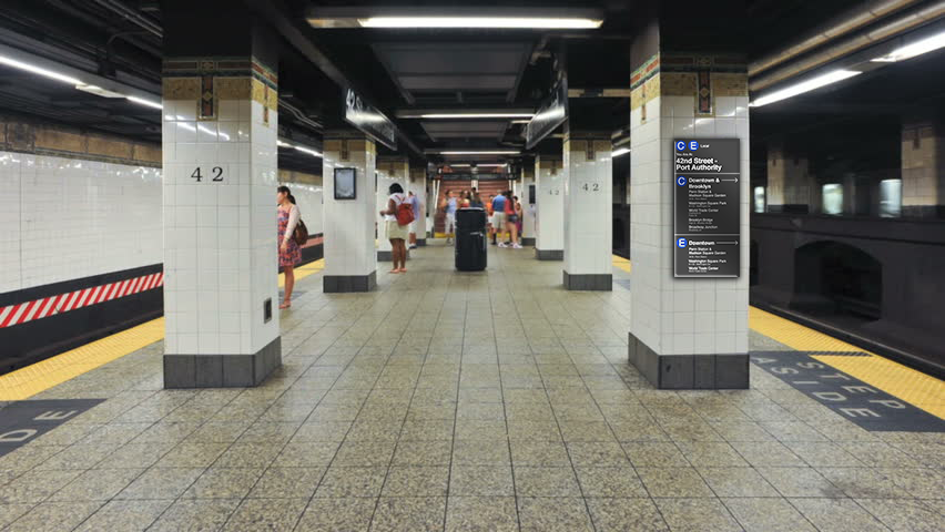
The New York City subway system is very complex and can be very confusing to one not from New York City or to someone who has never used a subway or public transit system. My proposed solution involves the creation of simple graphic maps with location icons so those within the subway stations can locate exactly where they are and where they need to be. In addition, there will be plaques labeling which trains go to certain
well-known locations.

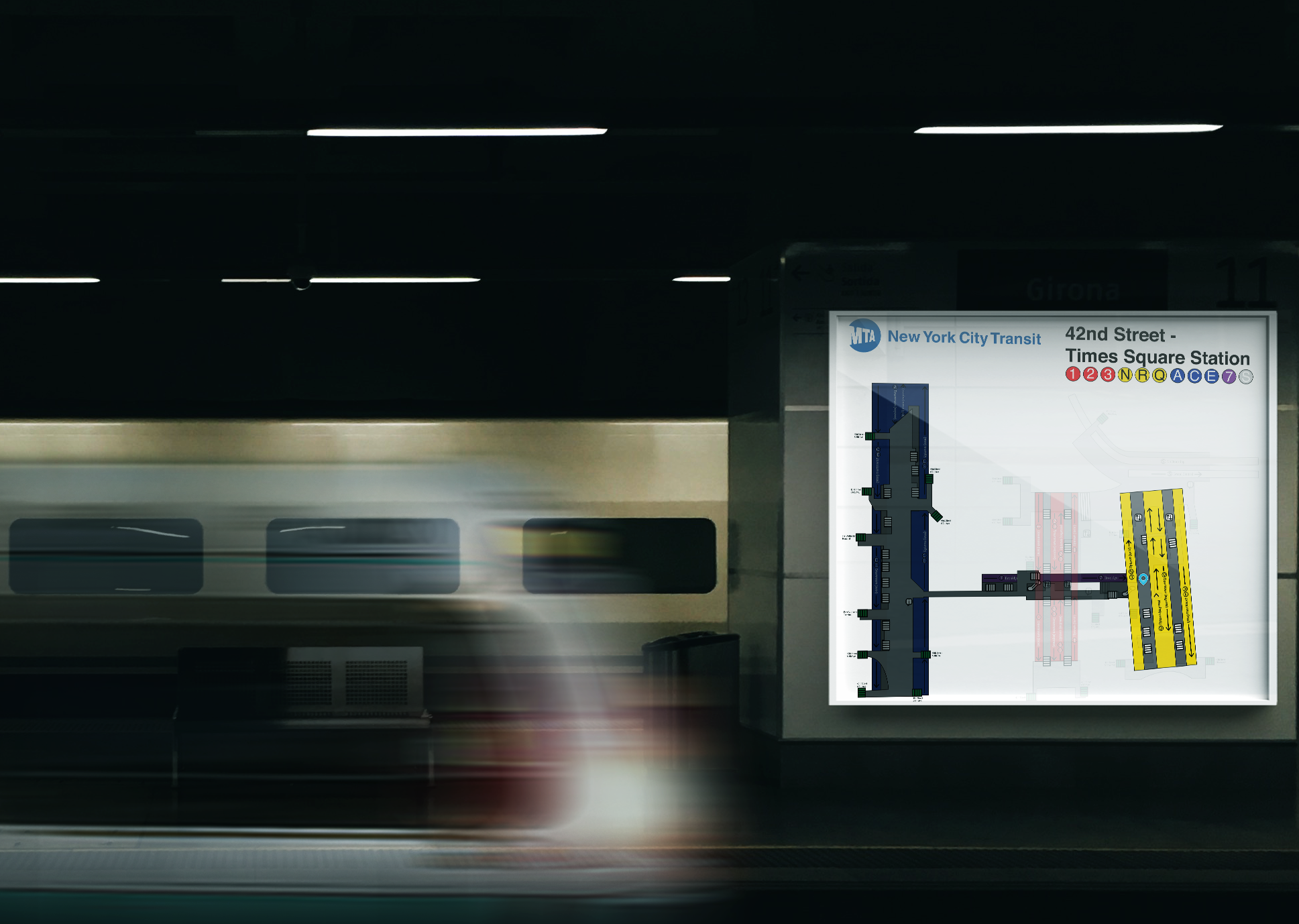

“You Are Here” print signage - differentiates between levels with opacity and shades.

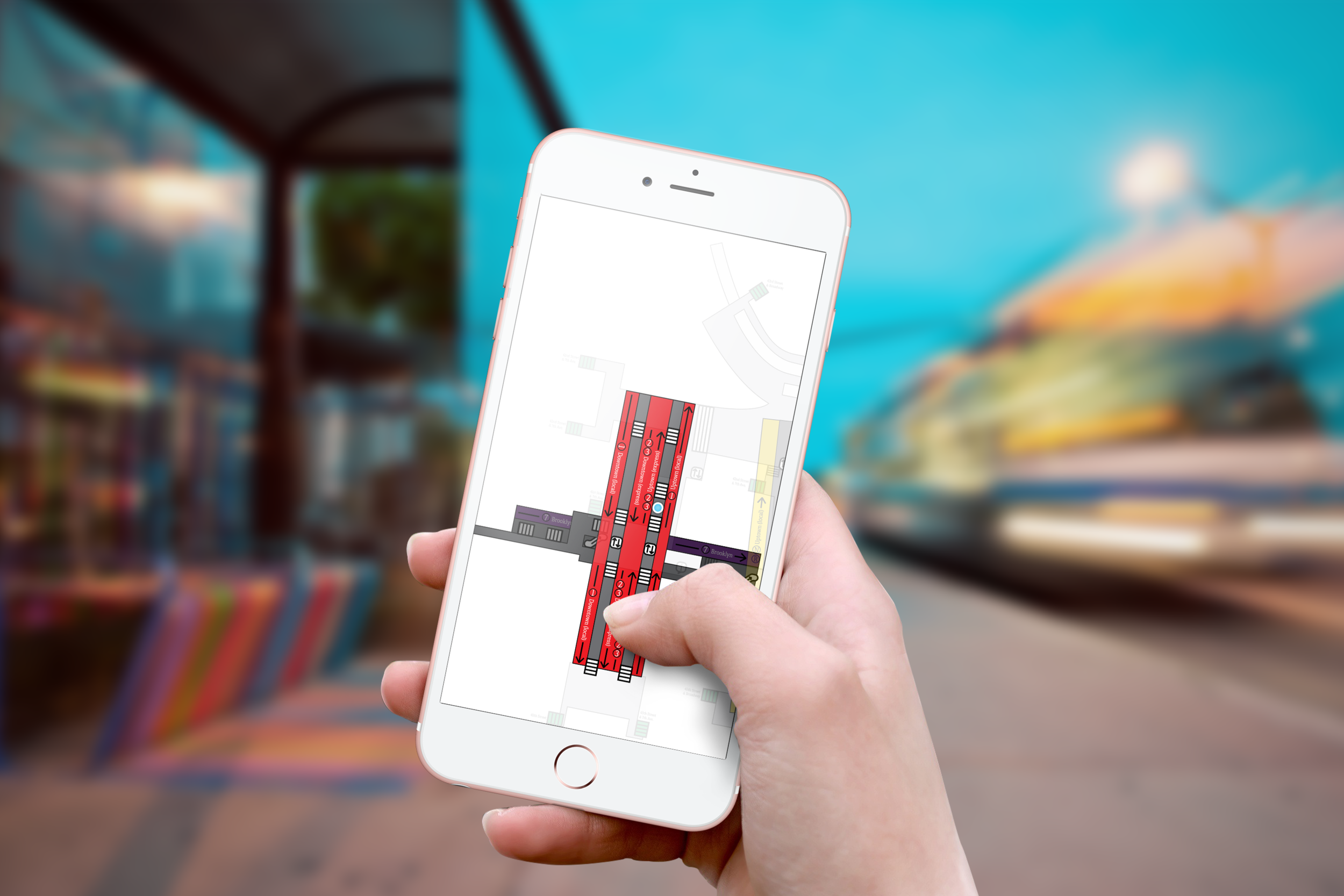
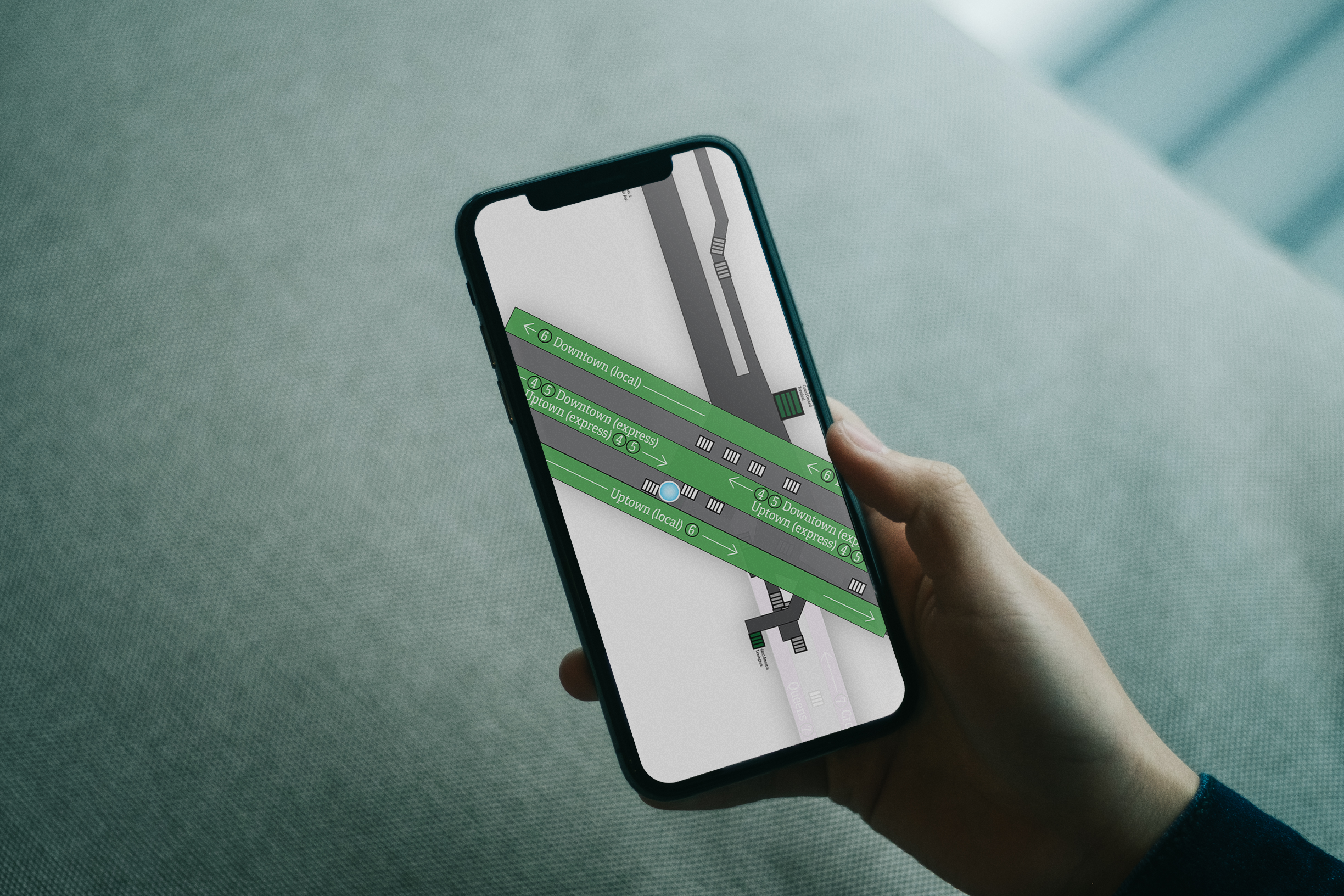
Interactive map that allows users to follow where they are moving.


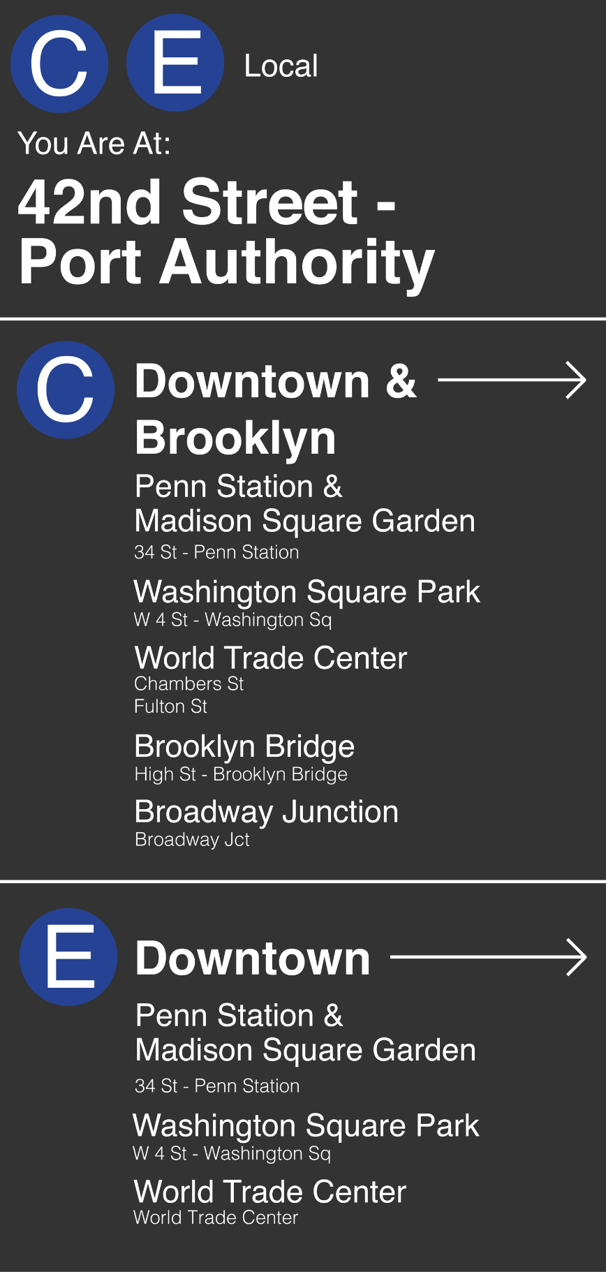
In-station signage that directs travelers to popular destinations.